The Main Hill
and a Directory of
all graves
The words "upper" and "lower"
refer to the areas above and below the
main circular access road.The northwest-lower
section is
roughly the size of Rhode Island.
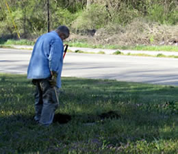
It has more than 420 graves recorded
and photographed for the findagrave Website.
If you are looking for a specific
grave, it may take several hours.
I hope to subdivide the area in
the future.
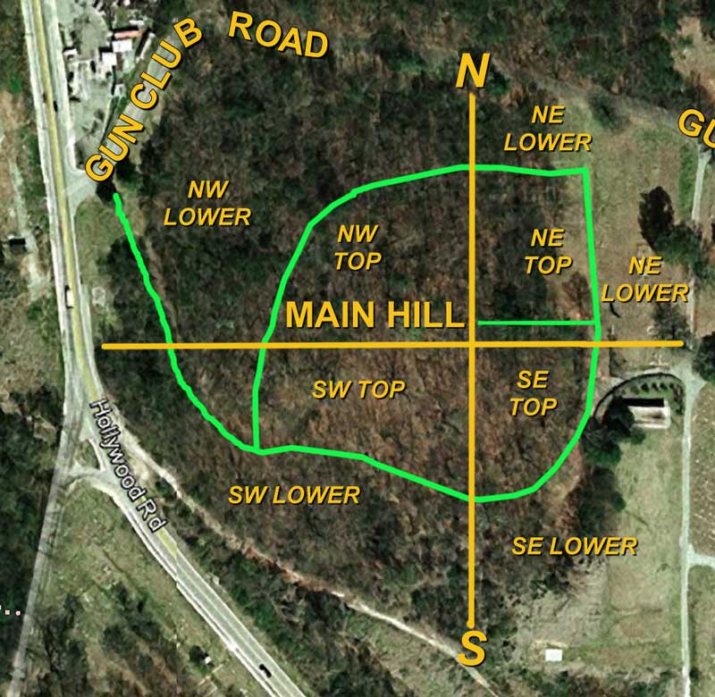
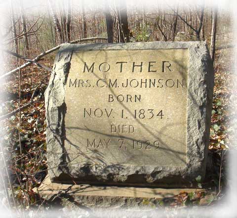
The top of the main hill is the
jumping off place for my map, with
the two main direction lines intersecting
at the Johnson gravestone.
Most of the graves
were
once accessible
by trails between rows of plots,
usually with a row of plots on
the left and right of the trail.
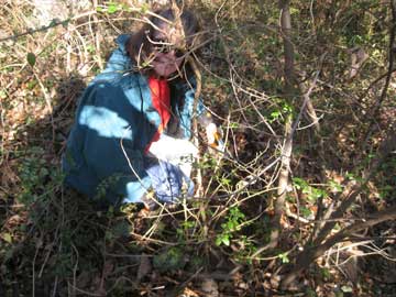
Today, it's difficult to discern
these trails. This area is overgrown,
rough, and difficult. There are
fallen trees, holes, and sunken
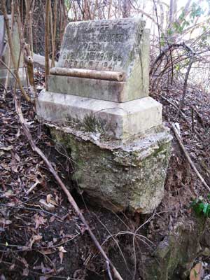
areas. Several of the monuments
are damaged.
This
area is hazardous. Enter at your
own risk.
RETURN
to HOME page
RETURN
to cemetery directory
Contact me at:

Last update: April 7, 2014